Veitscher Skytrail
16 · 20 · 54 km
2,502m
3
About this event
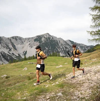
The Veitscher Skytrail runs through the striking Hochschwab region of the Austrian Alps, with routes that traverse alpine meadows and mountain ridges above the Mürztal valley. Based at Brunnalm, the event offers three distinct challenges: a 16-kilometre route with 1,124 metres of elevation gain, a 20-kilometre course climbing nearly 2,000 metres, and a demanding 54-kilometre journey across the Hohe Veitsch massif with 2,502 metres of ascent. The trails are known for their excellent running surface and sweeping panoramic views. All distances involve sustained climbing through high alpine terrain, making this an event for runners comfortable with technical mountain routes.
Distances
| Distance | Elevation | Level |
|---|---|---|
| 16km | 1,124m | Intermediate |
| 20km | 1,928m | Advanced |
| 54km | 2,502m | Advanced |
Find the races you'd actually enter
Free. Takes a minute.
- Connect Strava — see races that match what you run
- Create a group and plan this race together
- Share a ride to the start line
- Save it and track your season
Race data from ITRA
More events like this
See all
Seen Lauf

Ötscher Trail
Karawanken Löwen Trail